Generate Your Own Fantasy World Maps
Create your own fantasy world maps with our free AI image generator. It's easy and fun!


3 years ago
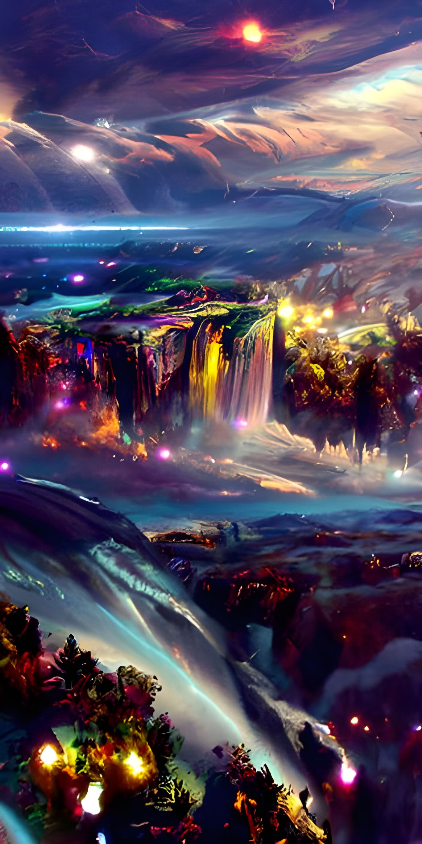
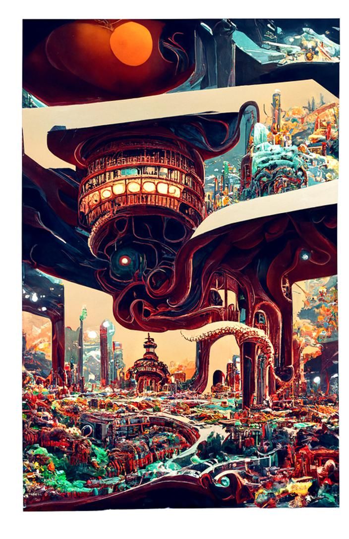
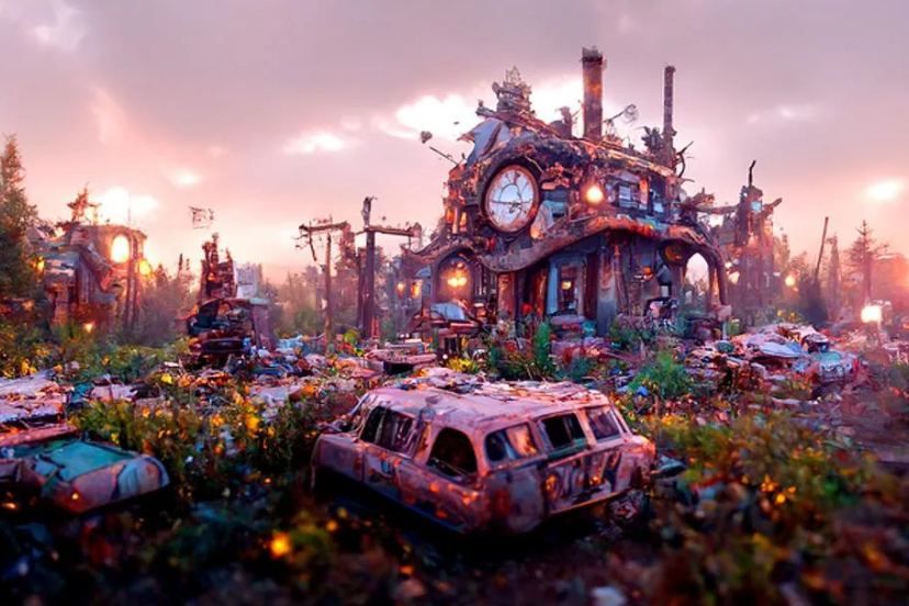
Population Density map of Narnia and Archenland by master cartography wizards
Created 3 years ago · 0 comments· 0 likes
Coherent

Creation Summary by Vincent
Narnia Population Density Map in Vibrant Vector Graphics
This image shows a vibrant, high-resolution population density map of Narnia and Archenland. The colorful vector graphics use red, yellow, and green to represent population densities, including talking animals.
Created by joshparkerj on Aug 5, 2022 using the Coherent AI image generator model.
No comments yet
Be the first to respond!

No comments yet.
Creation Settings
- Text Prompts
- Population Density map of Narnia and Archenland by master cartography wizardsWeight: 1Map of Narnia by J. R. R. TolkienWeight: 0.9Detailed map of Narnia by C. S. Lewis, Thomas Cole. The colors on the map represent population densities. Red means high density. Green means low density. Yellow is in between. The population numbers include talking animals.Weight: 0.8High resolution map of Narnia, Archenland, and Calormen rendered in beautiful vibrant vector graphics by Jack Kirby and M. C. Escher, Hergé, Yoshiyuki Tomino. Colorful rendering that shows the relative population density of each area.Weight: 0.7
- Model
 CKPT
CKPT- Initial Resolution
Medium
- Aspect Ratio
1:1
- Overall Prompt Weight
50%
- Start Image Weight
70%
- Noise Weight
30%
- Accuracy boost
Extra