Create Aztec cityscapes with AI
Easily create your own Aztec city images with our free AI image generator


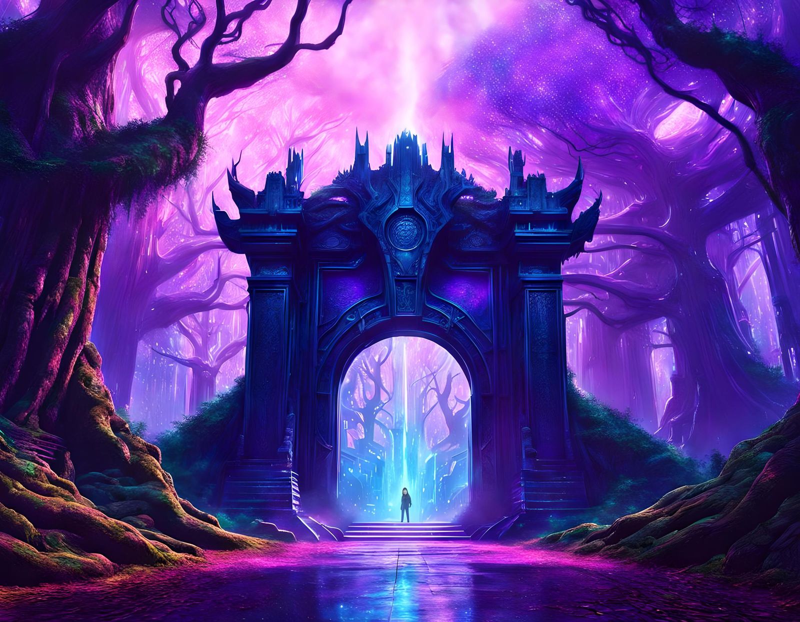
Founding of the Aztec Capital of Tenochtitlan
Created 2 years ago · 5 comments· 0 likes
Juggernaut XL v8
The Aztec region of Mesoamerica, called Anáhuac, contained a group of five connected lakes. The largest of them was Lake Texcoco. The Aztec built their capital city, Tenochtitlan, on Lake Texcoco. Built on two islands, the area was extended using chinampas—small, artificial islands created above the waterline that were later consolidated. Tenochtitlan eventually reached an area of more than 13 square kilometers (five square miles). Causeways that doubled as dikes connected the island to the mainland and separated freshwater from salt water, protecting the chinampas. See: https://education.nationalgeographic.org/resource/tenochtitlan/ ↗️
5 Comments
Join the conversation


Thank you so much for participating in the Aztecs challenge. There were a lot of amazing Aztec images in this challenge. I gave out only a couple of scores less than 3 and more than a few 4s and 5s.
Instead of giving no credit award, I have reduced the amount I am giving out in order to compensate images that were on-theme but received scores less than 3.
Here’s the link for the challenge so you can look over all the wonderful creations, like and comment on those you feel deserve it.
The next challenge in the World Civilizations room will be Rock and Roll (1950s).

Creation Settings
- Text Prompts
Gary DeVeau has hidden the prompt
- Model
 CKPT
CKPT- Initial Resolution
Medium
- Aspect Ratio
16:9
- Runtime
Short
- Overall Prompt Weight
100%
- Refiner Weight
50%
- Sampling method
K_DPMPP_2M


This ones my favourite. Splendid ! Why can't the spell checker in here understand English ? Just sayin' . From Manchester, UK . . .