Create your own ancient maps with AI
Easily generate your own historic-style maps with our free AI image generator, perfect for cartography enthusiasts and historians.

9 months ago
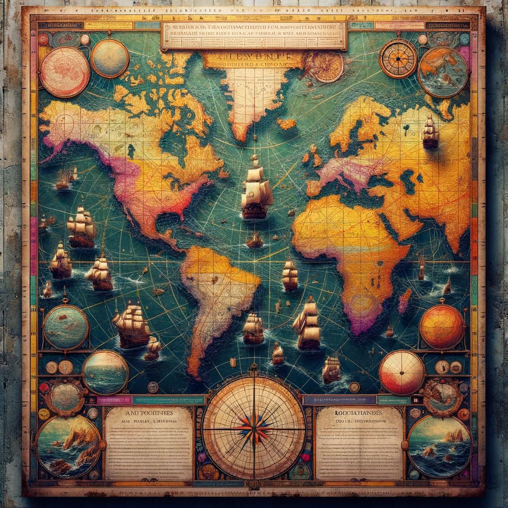
A vibrant, intricately detailed, 3D cartography-style ancient chart, reminiscent of 16th-century navigational maps
Created 9 months ago · 0 comments· 0 likes
DALL-E 3

Creation Summary by Vincent
Ancient Maritime Chart in 3D Cartography Style
This 3D ancient chart depicts historic shipping routes across the Atlantic Ocean, highlighting perilous danger zones with mythical sea creatures and turbulent storm systems, set against a worn, yellowed parchment texture reminiscent of 16th-century navigational maps.
Created by Jeff on Apr 1, 2025 using the DALL-E 3 AI image generator model.
No comments yet
Be the first to respond!

No comments yet.
Creation Settings
- Text Prompts
- A vibrant, intricately detailed, 3D cartography-style ancient chart, reminiscent of 16th-century navigational maps, featuring the historic shipping lanes across the Atlantic Ocean, with weathered parchment texture and yellowed, crackling surface. The chart showcases the treacherous danger areas of the ...Weight: 1
- DALL·E 3 Revised Prompt
- Produce a colorful and meticulously arranged 3D cartography-style ancient chart, akin to the style of 16th-century seafaring maps. The chart should depict historic shipping routes across the Atlantic Ocean, complete with the texture of weather-beaten parchment and a yellowed, crackling surface. The chart ...
- Model
 CKPT
CKPT- Initial Resolution
Medium
- Aspect Ratio
1:1
- DALL·E 3 Quality
High
- DALL·E 3 Style
Vivid